Lenk-Simmental Trail Network
The Lenk-Simmental region stands for a diverse and cultivated mountain landscape – from the foothills of the Alps to the high Alps it offers a great nature and landscape experience for hikers and mountain bikers. In the fall of 2020, we put predetermined paths and trails through their paces and processed our photos and impressions into a trail network analysis. Since summer 2021, we have been supporting the destination with construction measures and advising them on a conceptual level. The results from the trail network analysis are literally leading the way.
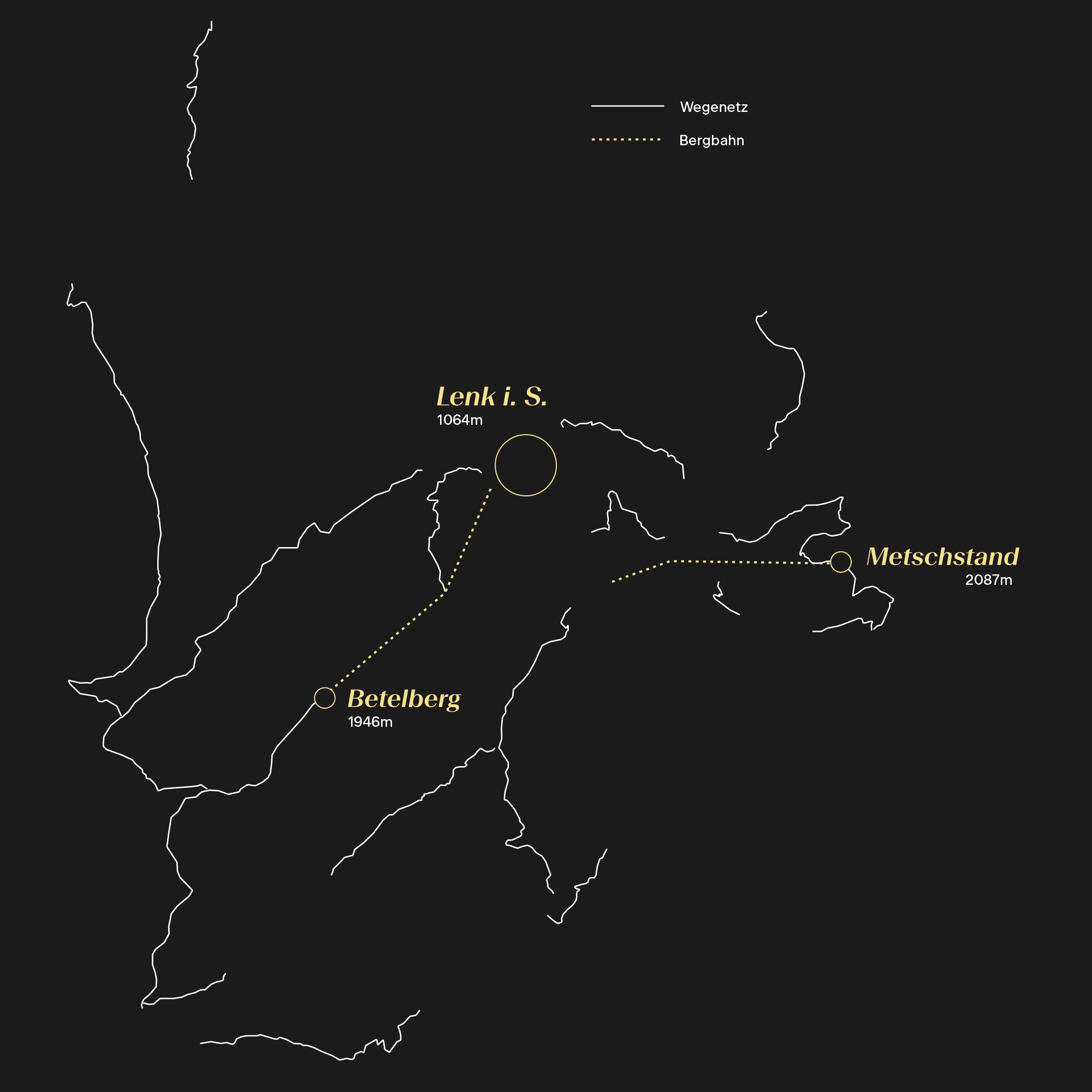
Trail network analysis
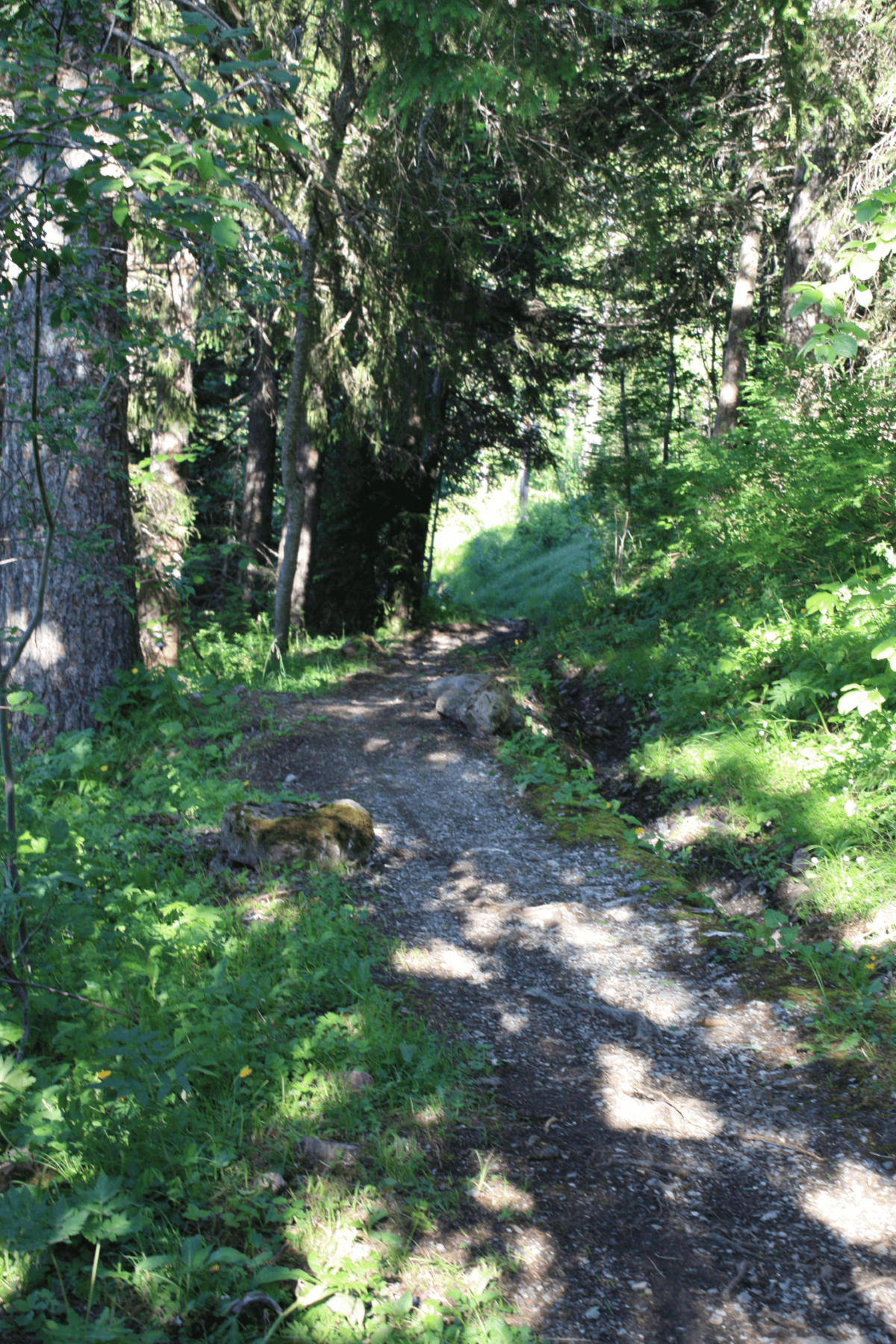
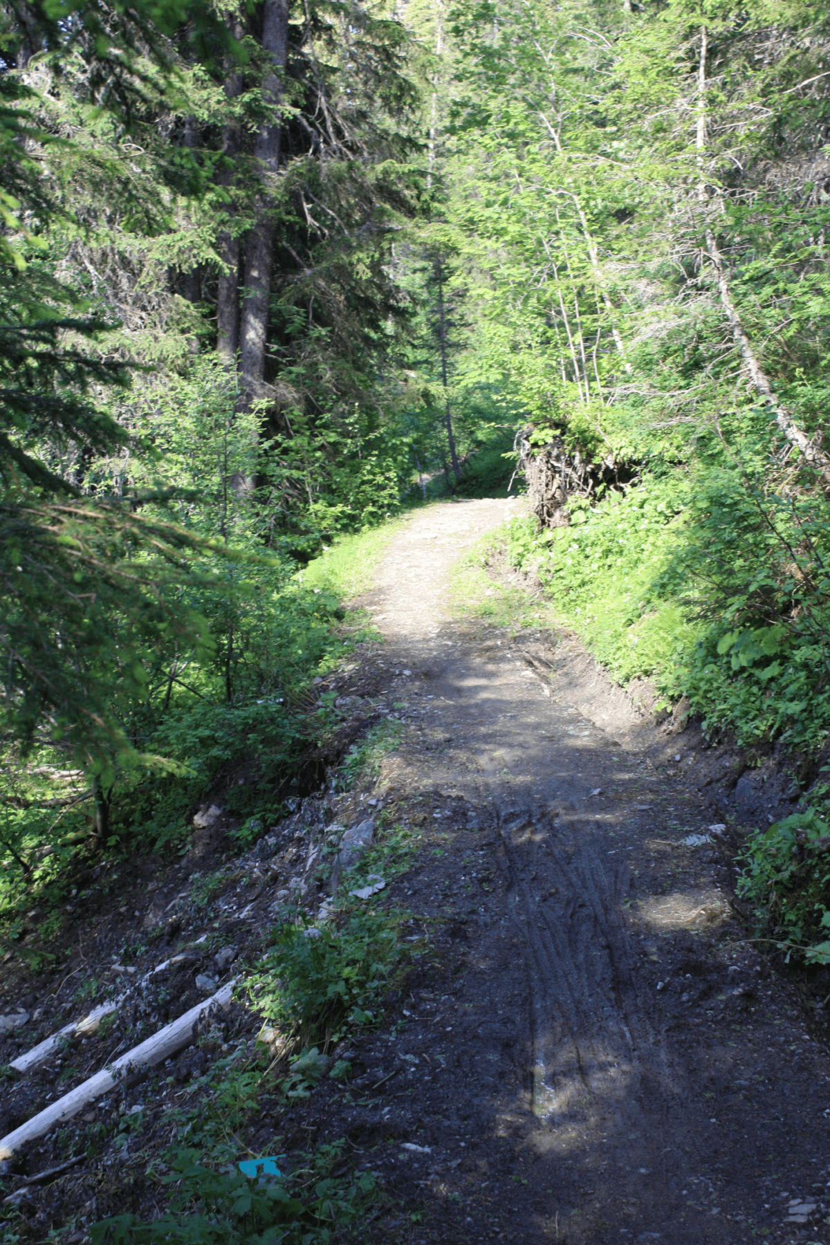
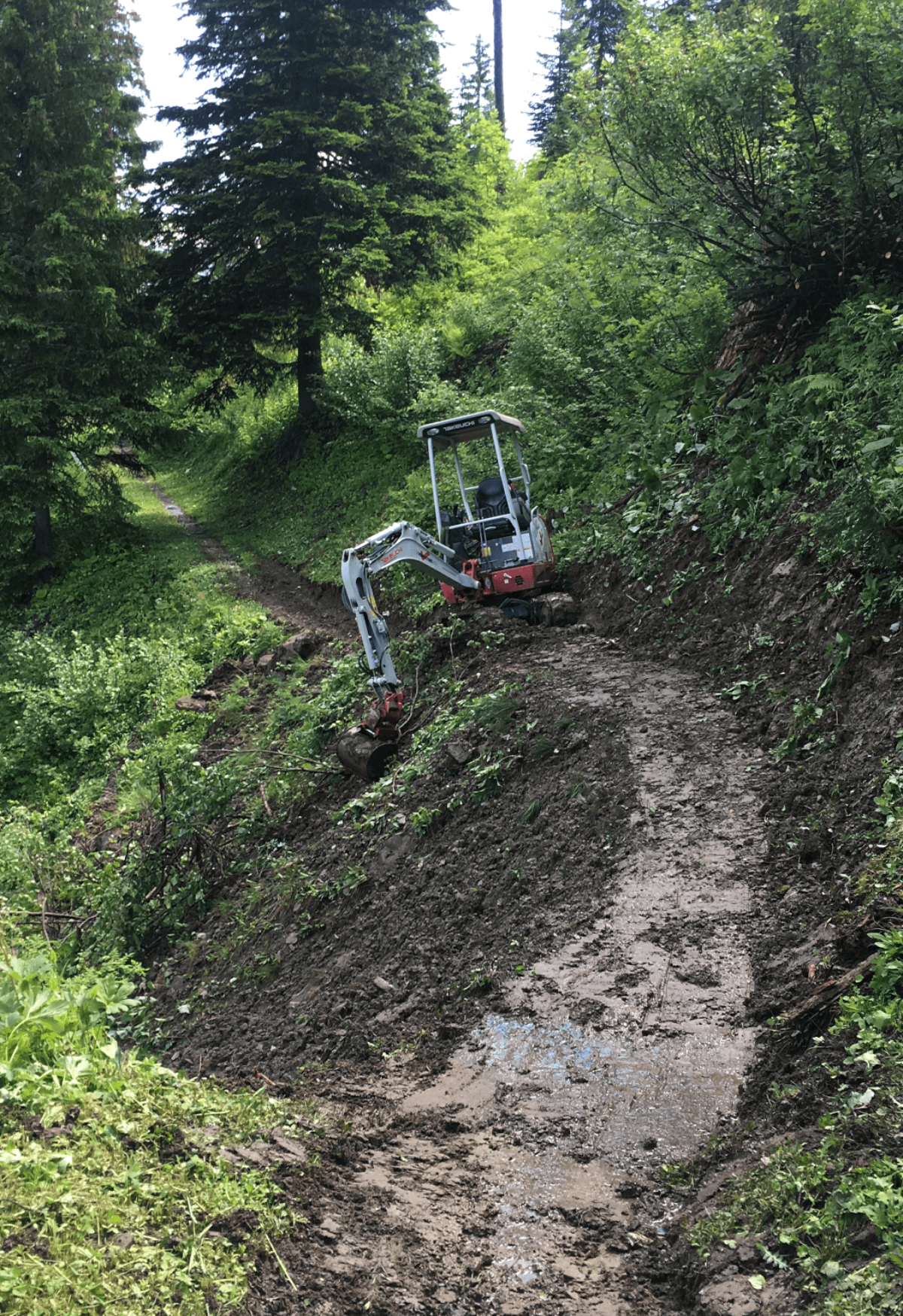
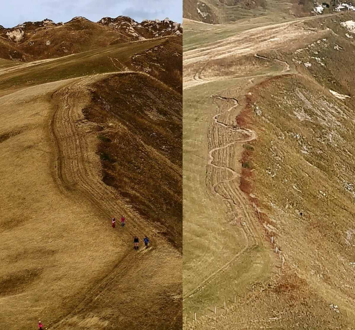
We analyzed a total of eighteen different trail segments with a total length of 56 km and proposed structural, planning and construction measures to ensure that mountain biking can find its place on selected trails in the region. Various maintenance and renovation measures are intended to make the existing trail network more resistant to weather and use. At the same time, this analysis report is also being used as an opportunity to coordinate the management of non-motorized tourist traffic in line with existing protection and usage interests (alpine farming, nature conservation, wildlife protection, etc.).
Structural implementation through knowledge transfer
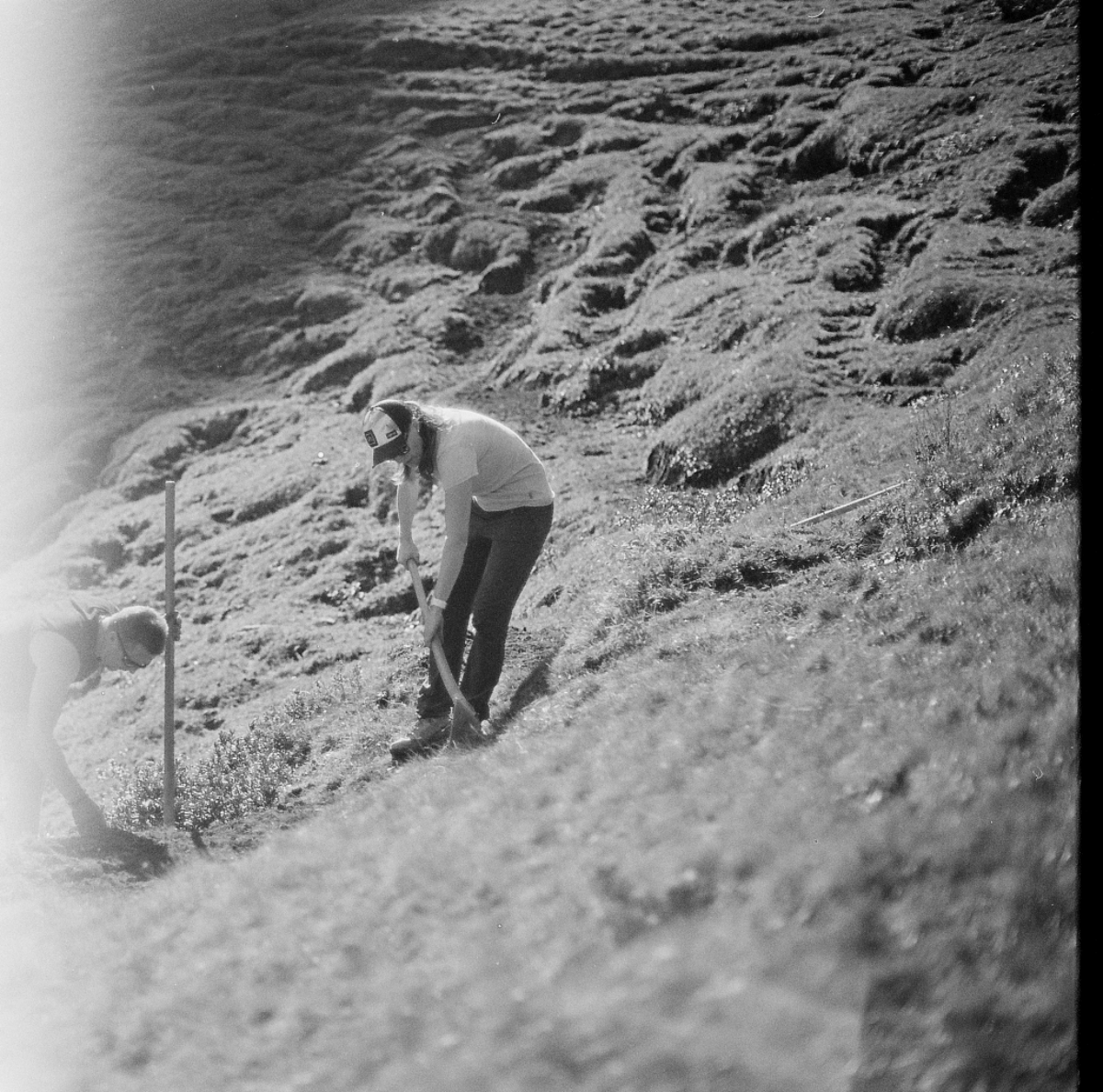
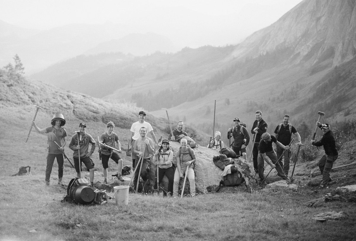
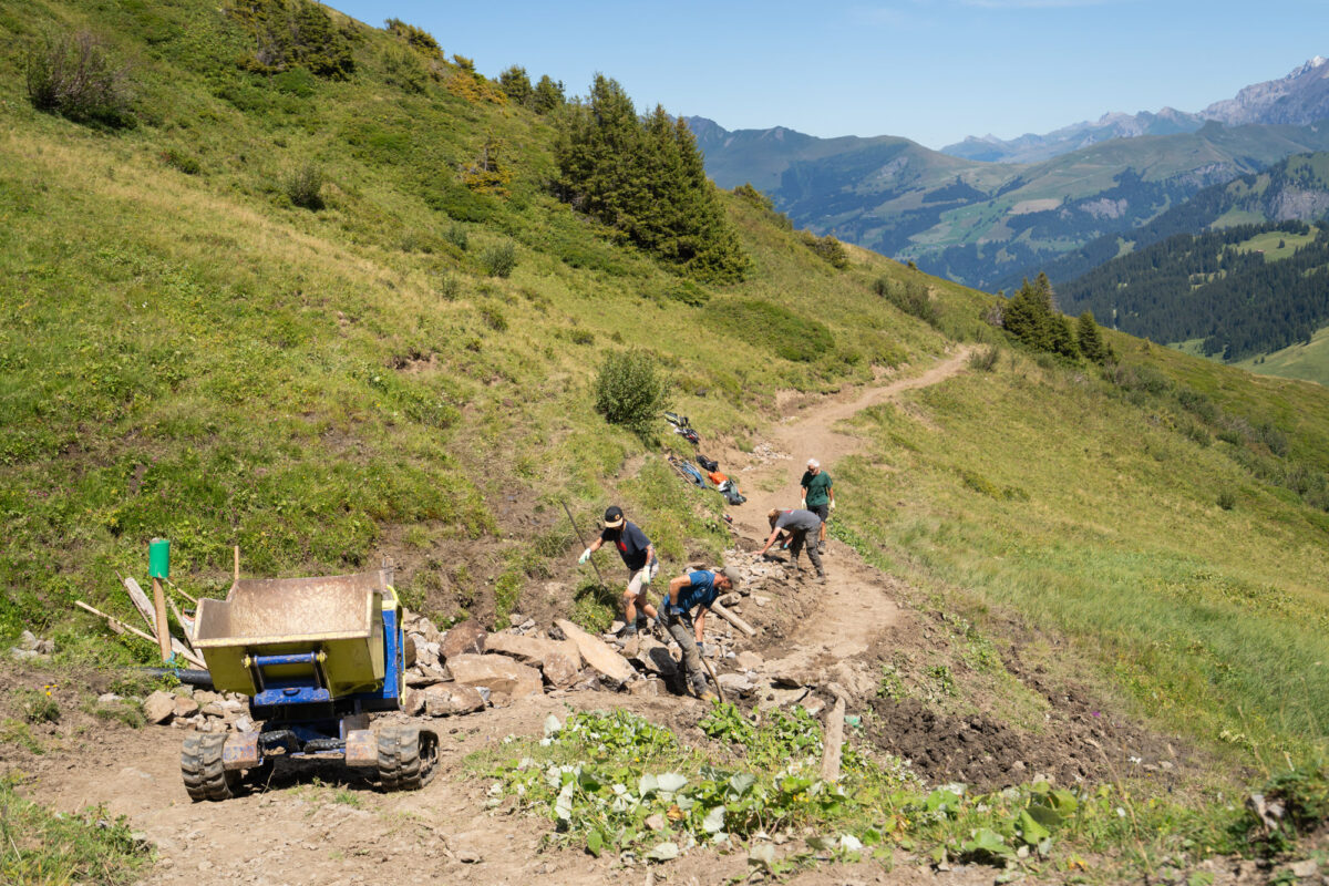
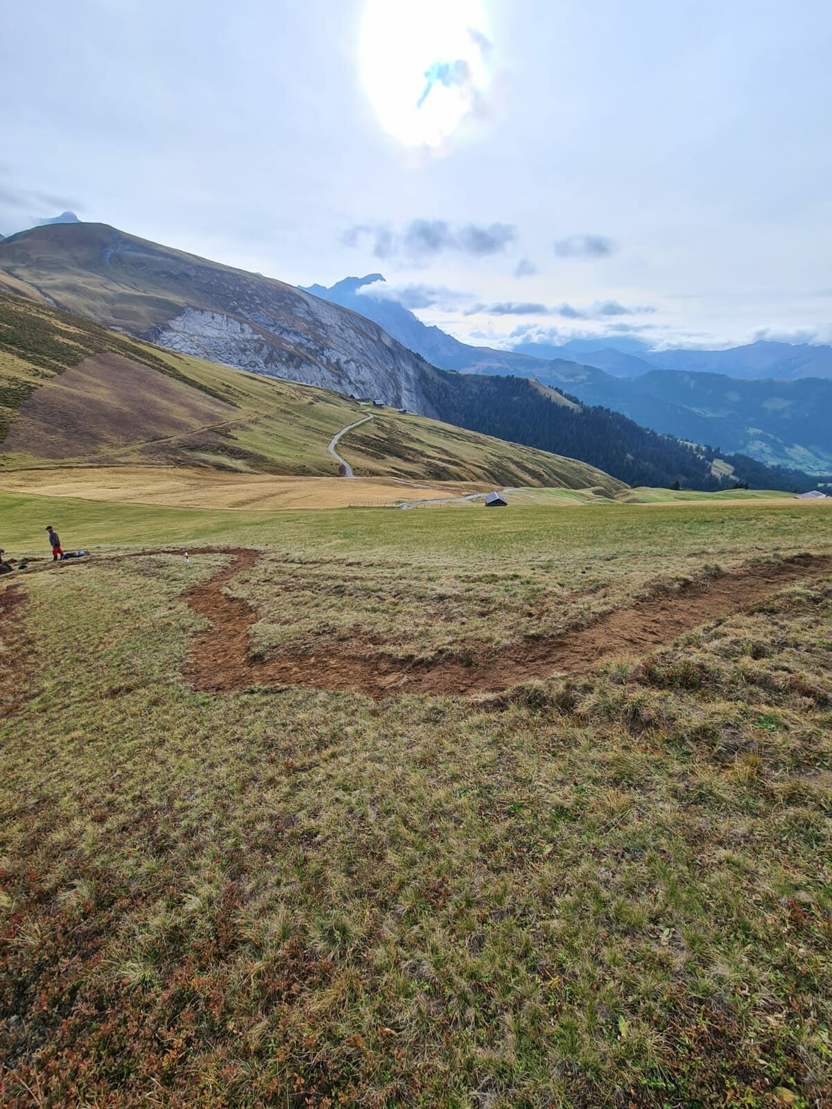
On the basis of a four-year plan, we work with various personnel resources from local service providers – the municipality (Werkhof), mountain railroads and forestry – to improve the quality of the trail network. In each case, Vast is responsible for the technical construction management and thus imparts the relevant knowledge directly “on trail”. If required, we also provide the machine operators and trail building specialists. Together with Lenk-Simmental Tourism, we develop and organize other creative formats such as civil defence missions, “Work & Ride Week” with mountain bike guests, maintenance days with the Lenk Bike Club or an apprentice camp for a major national construction company.

In Vast, we have a competent, agile and flexible partner who provides us with significant support in improving the quality of our trail network in terms of planning and construction. The well-founded trail network analysis is a very helpful basis for us to be able to gradually optimize our trail network on the Lenk together with local service providers over the next few years.


Regional sub-guideline plan
The Kandertal planning region and the Obersimmental-Saanental mountain region (KASISA) have drawn up a “regional sub-guideline plan for tourist mountain bike routes”, which is currently in the approval process. The content of the route network analysis was aligned with the planning status of this directional plan. In the canton of Bern, the approval of the sub-guideline plan is a key legal planning requirement for the homolgation of official mountain bike routes. The directional plan also ensures the connection to the two neighboring tourism regions of Gstaad-Saanenland and Adelboden.

There are over 30,000 km of freely accessible, unsealed paths and trails in Switzerland. From a spatial planning, environmental and cost perspective, I believe it is essential to continuously improve the quality of the existing infrastructure in terms of durability, safety and integration. Those responsible at Lenk have recognized this opportunity and we are delighted to be able to support them in this!
2020-ongoing
Lenk-Simmental Tourismus AG
Trail Network Analysis, Consulting, Route Network Design, Maintenance and Reconstruction, Knowledge Transfer
Municipality of Lenk, Municipality of St. Stephan, Municipality of Saanen, Municipality of Lauenen, Mountain Railways Adelboden-Lenk AG, Forestry Area Lenk-St. Stephan, Civil defense Saanen Plus, Bikeclub Lenk