The Furka Trail is a central section of the last and fourth stage of the regional Switzerland Mobility Route No. 85 ‘St. Gotthard Five Passes Bike’. With views of the Rhone Glacier as well as the Grimsel and Furka Passes, this stage is not only a highlight in terms of trails, but also a real scenic delight and thus does full credit to our company name.
Feeder road through a rocky military path
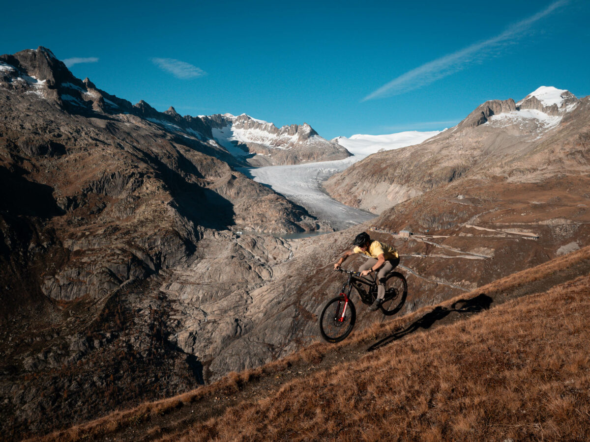
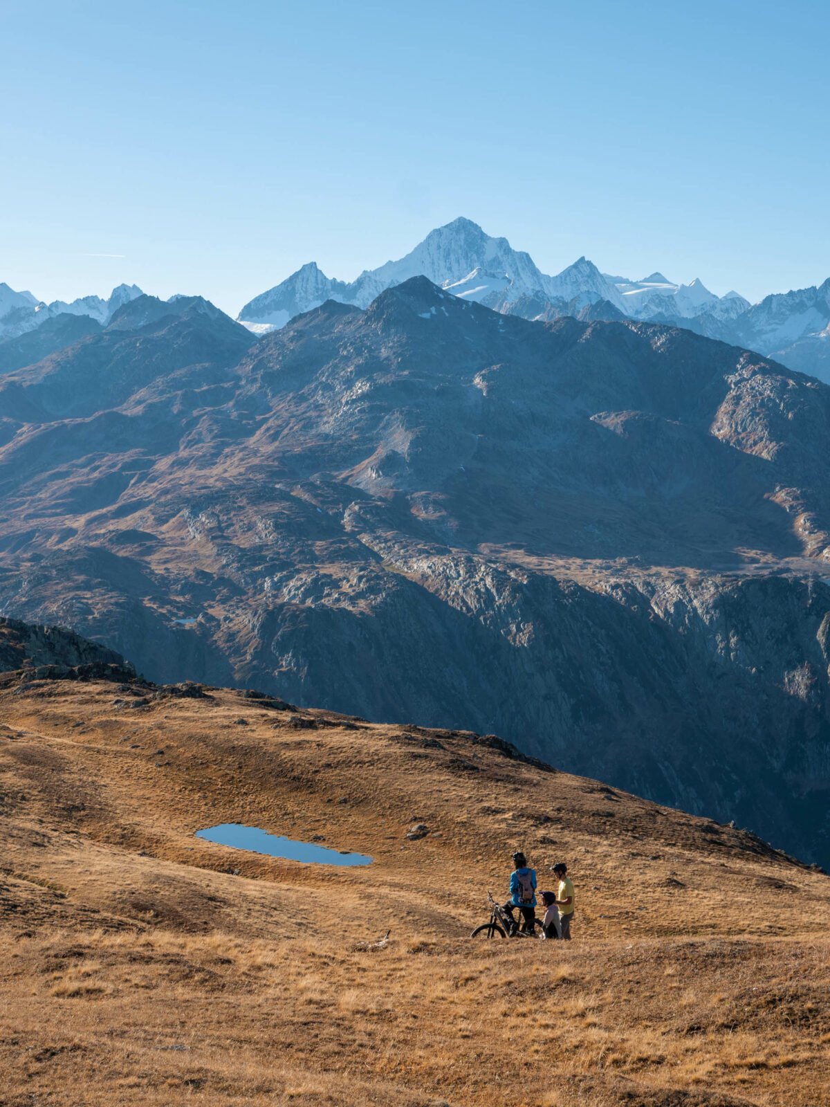
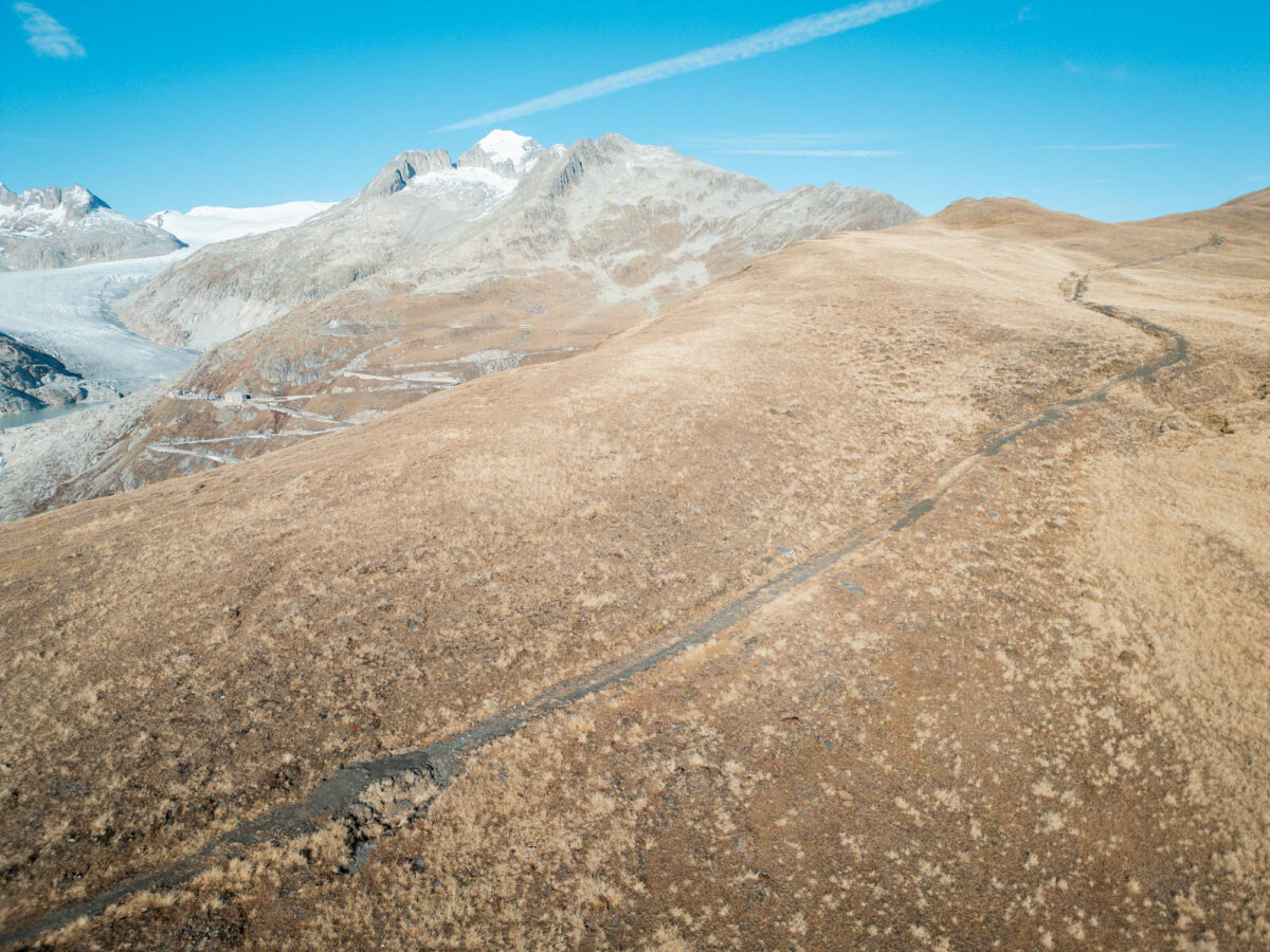
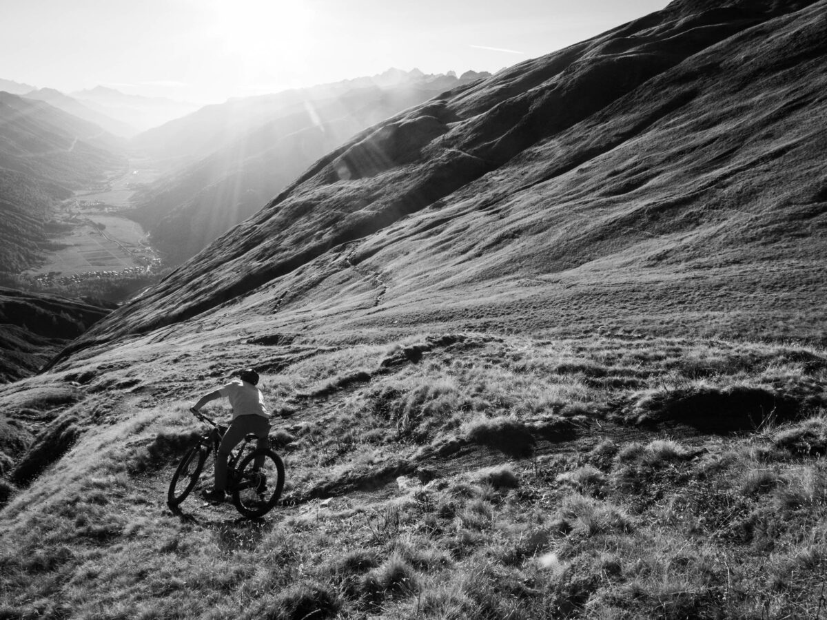
View of the Rhone Glacier and Furk Pass road shortly before the start of the descent
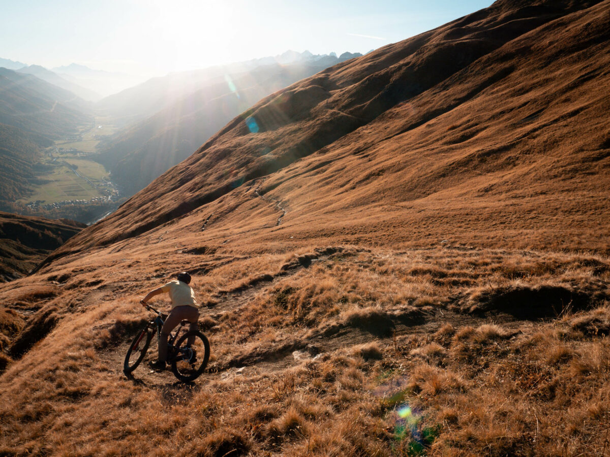
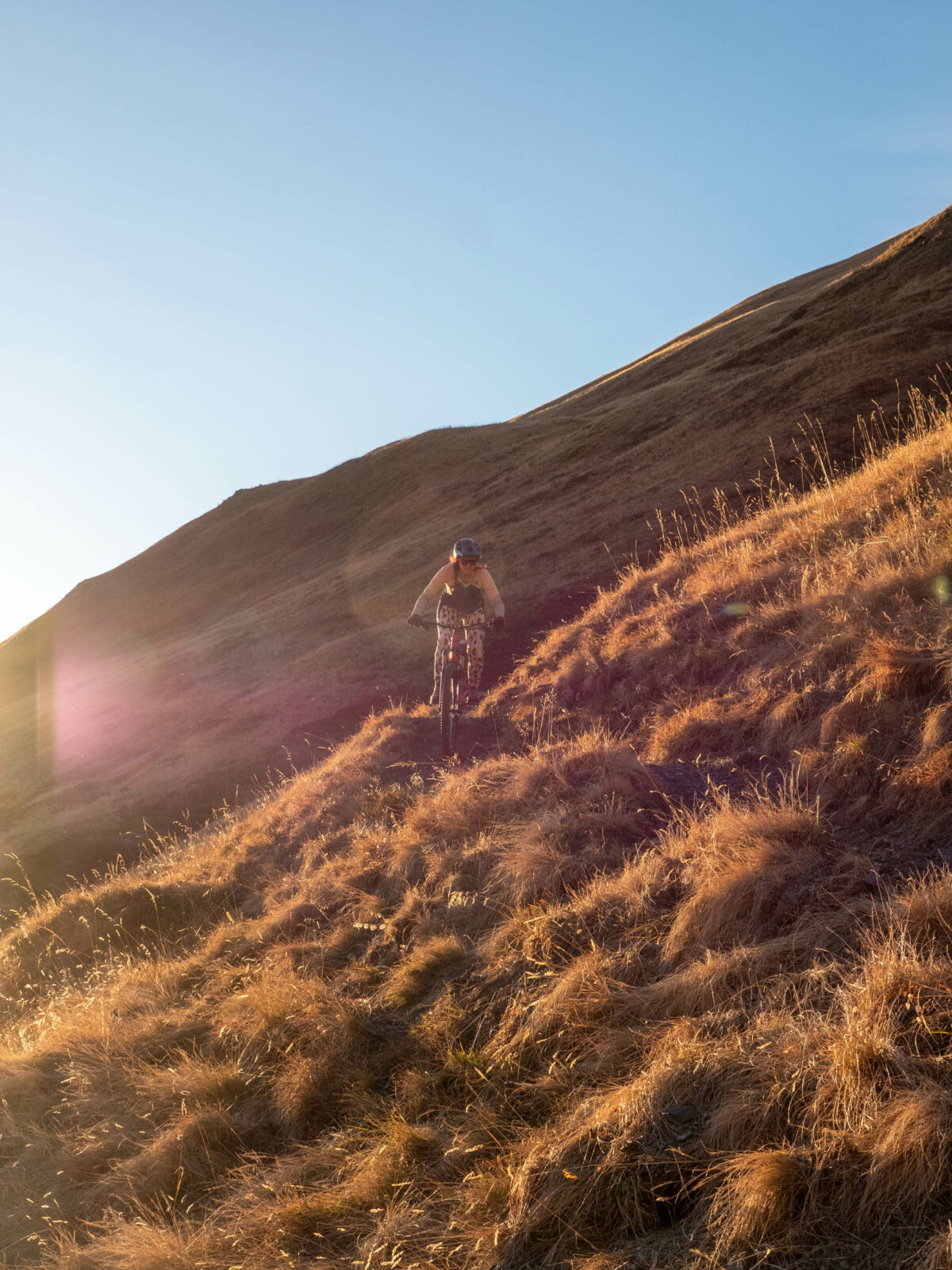
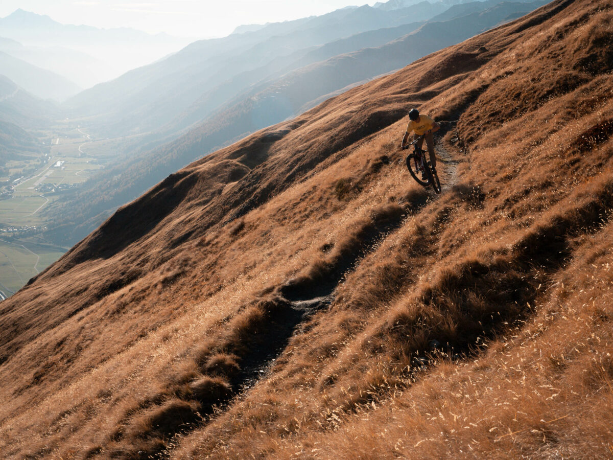
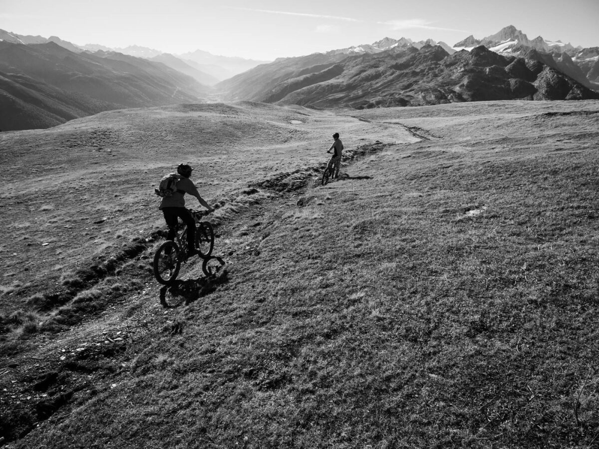
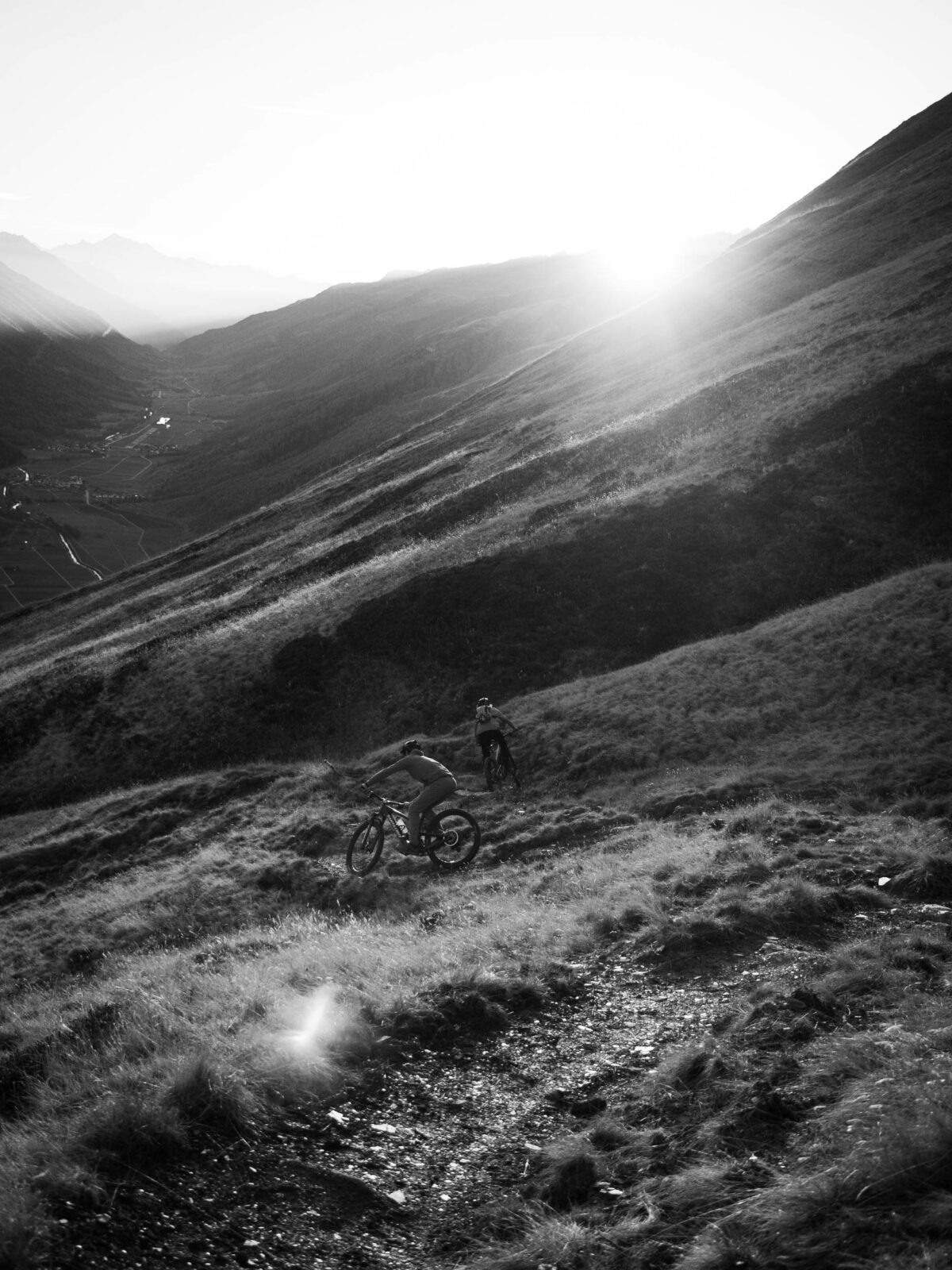
Endless descent into the Goms with impressive views
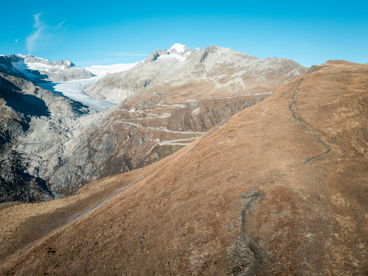
360° panorama with Rhone glacier
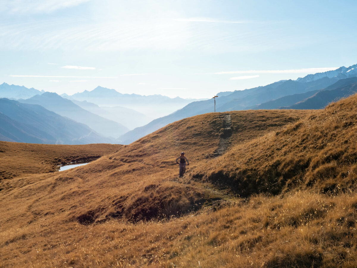
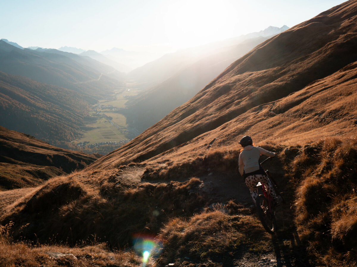
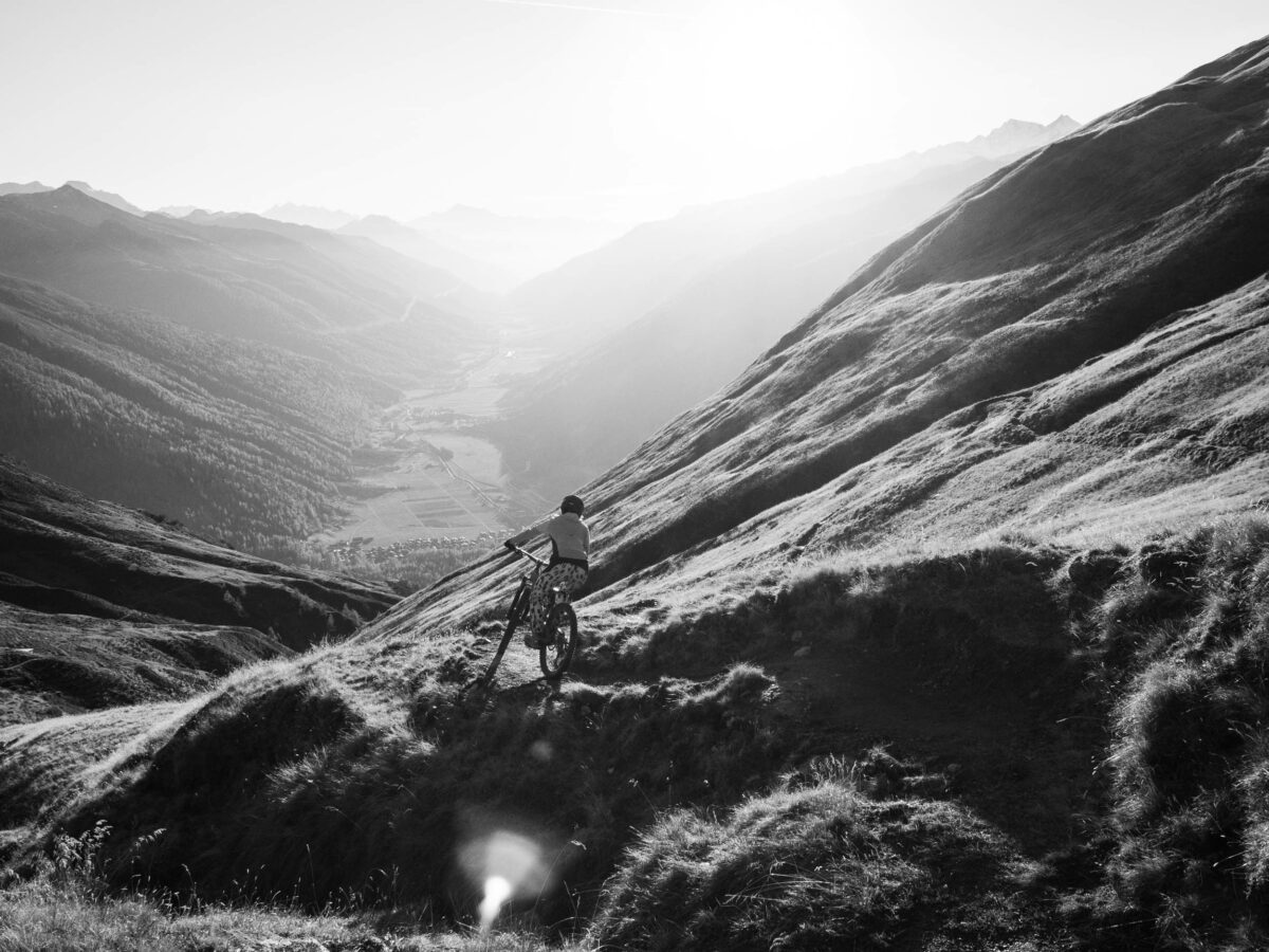
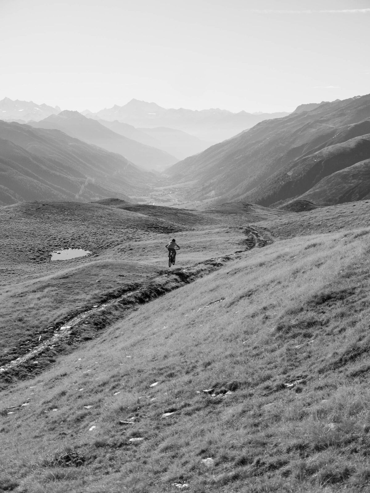
Valley view into the Goms
Valley view into the Goms
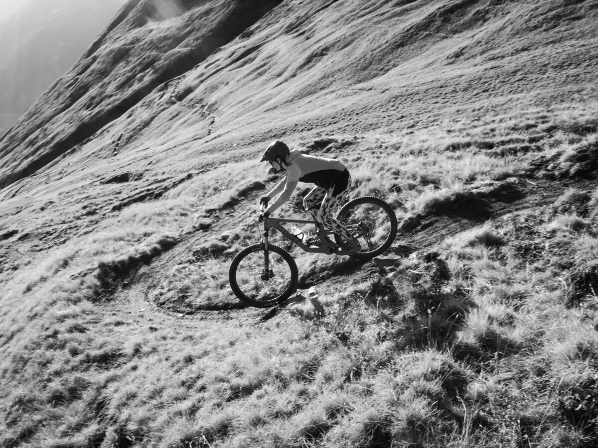
First newly built section at Fiirbäch
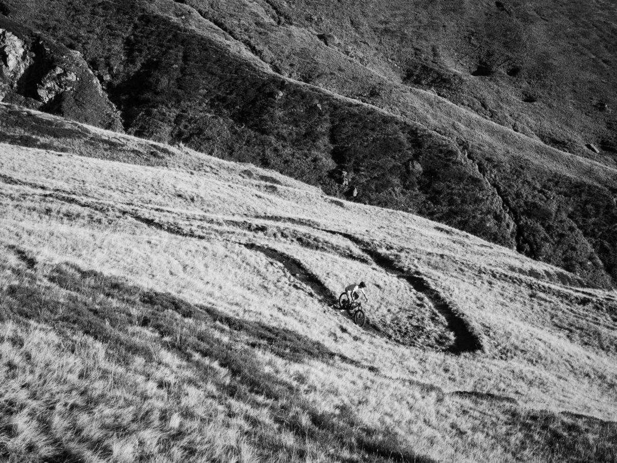
180° bends in the new Fiirbäch section
Feeder road through a rocky military path
View of the Rhone Glacier and Furk Pass road shortly before the start of the descent
Endless descent into the Goms with impressive views
360° panorama with Rhone glacier
Valley view into the Goms
Valley view into the Goms
First newly built section at Fiirbäch
180° bends in the new Fiirbäch section
![]()
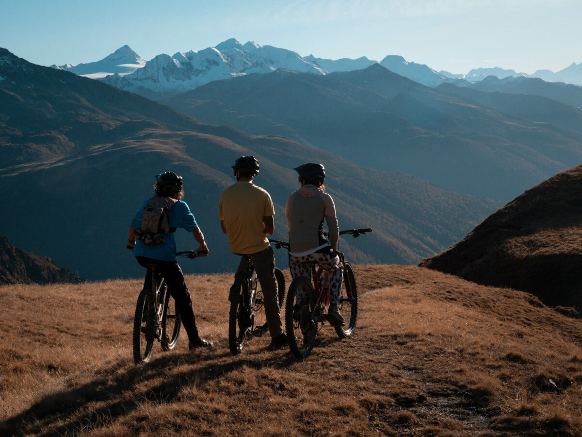
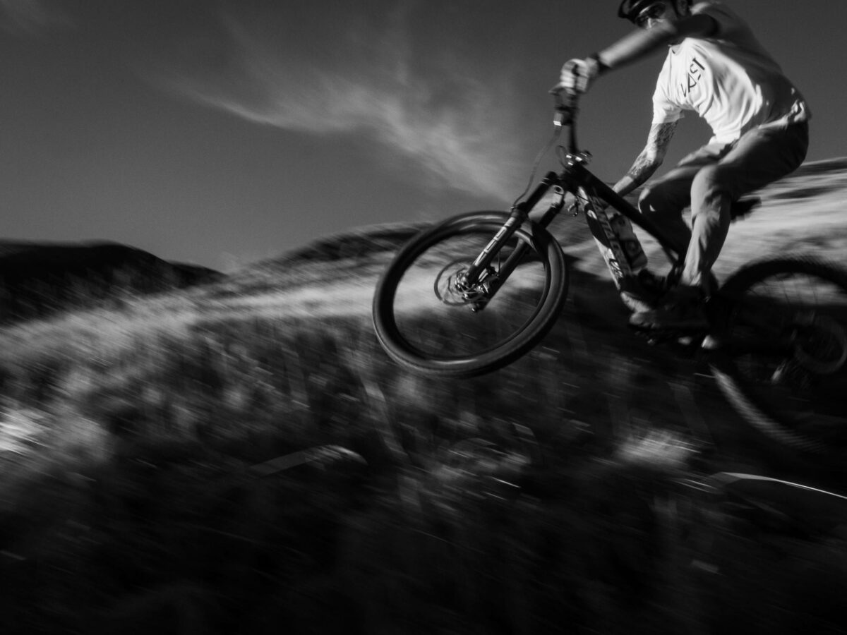
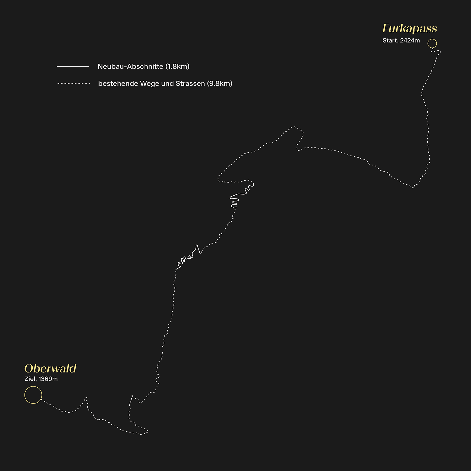
Furka descent
The trail can be reached by muscle power via the Furka Pass road. In the summer season, postbus connections from Oberwald and Realp make the ascent much easier. Once you reach the top of the Furka Pass, a slightly ascending military road first leads to below the Mutt Glacier, passing several old bunkers (well hidden!). From there it is an adventurous ride over torrents and through small tunnels along the old military path. The descent starts at ‘Rossji’ and from there leads smoothly along the ridge. There are always opportunities to enjoy the magnificent views of the Rhone Glacier and the Grimsel and Furka Passes. The trail changes character as soon as the topography changes. The long, flowing straights give way to crisp bends and rather slow technical sections.
Bike Labyrinth Gotthard
The planning basis for the Furka descent is the intercantonal project “Bike Labyrinth Gotthard”, which was developed by the San Gottardo programme (regional development). The culturally diverse valleys in the Gotthard massif are ideally linked by attractive trail descents and existing ascent aids (bus connections, railway and mountain railways). The four cantons of Uri, Valais, Ticino and Graubünden as well as three language zones come into their own. The regional Switzerland Mobility route no. 85 ‘St. Gotthard Five Passes Bike’ with 105 km, 2300 metres of ascent and 6000 metres of descent leads from Airolo to Oberwald over five passes. Another option is the regional SwitzerlandMobility route no. 84 ‘St.-Gotthard-vier-Pässe-Bike’, which starts on the Nufenen Pass and ends after 120 kilometres in Biasca. Both routes have a very high proportion of single trails at 34km (No. 85) and 48km (No. 84) and symbolise the quality offensive of Switzerland as a mountain bike country.
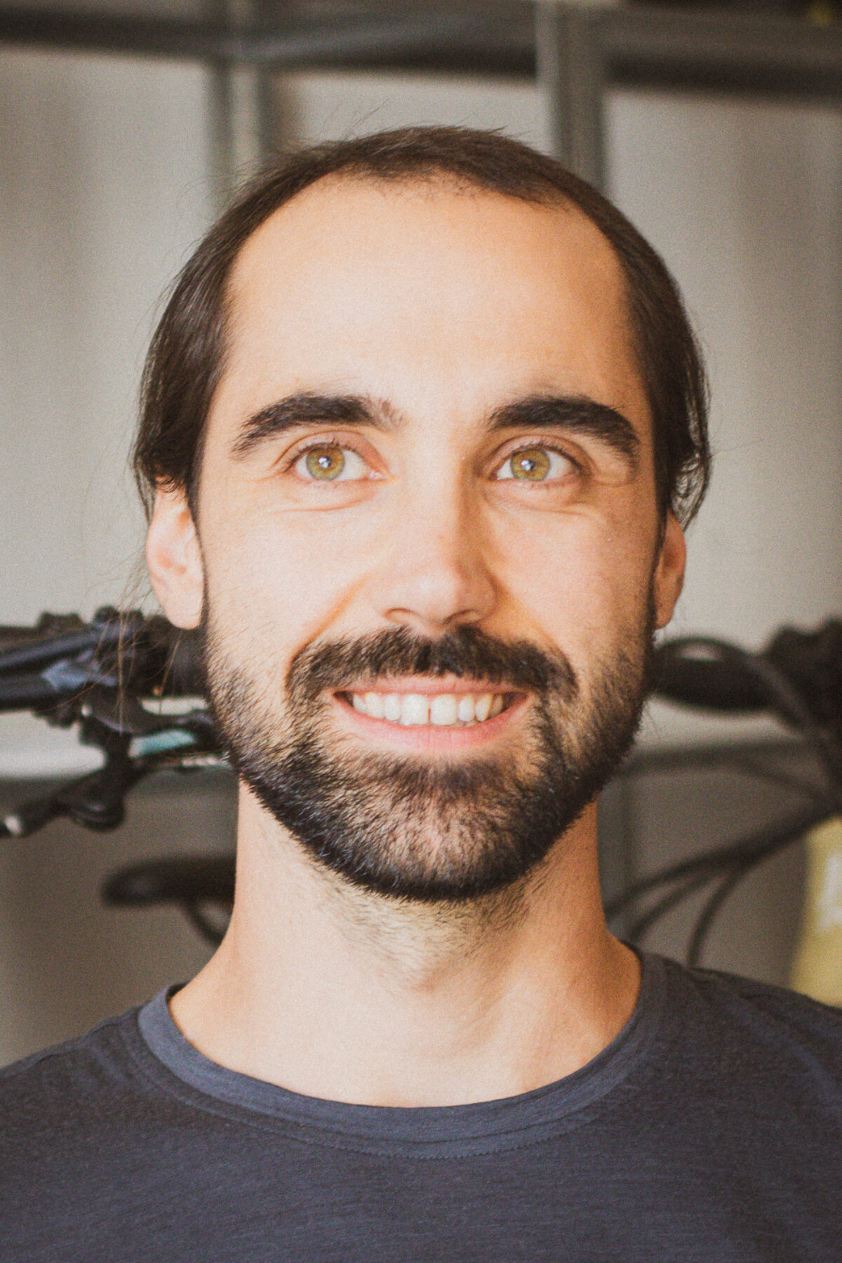
Felix Volpert, project leader and environmental engineer, Bikeplan AG:
With a gradient of over 25%, the old trail had massive erosion problems in many places. The new mountain bike trail was planned to suit the circumstances and is a prime example of sustainable trail design in alpine terrain: with a significantly flatter longitudinal profile than the old trail, future erosion is minimised and an attractive user experience is integrated into the landscape in a gentle way.
Watch out for mules!
The entire descent is on shared trails. Here, coexistence is not just about mutual respect between hikers and mountain bikers, but also specifically with regard to alpine farming and its animals. The attentive guest will discover grazing horses up here alongside cows and sheep. In addition, due to the lack of a mountain road, this is probably one of the last alps in the Upper Valais to be summered daily by mule in the summer season. This means that the freshly produced cheese is brought daily from the ‘Alp Lichere’ to Gand, where it is stored in the cheese cellar. Special care is taken here so that the mules are not startled and can bring their precious cargo safely down to the valley.
The challenge of bad weather
The natural basin at the beginning of the Rhone Valley acts as a rain collector and accordingly this area regularly experiences heavy rainfall. The heavy rainfall in recent years has been particularly damaging to the steep, high-altitude (+2000 metres above sea level) and unforested sections. Some of these were already eroded by more than 1 metre (!) and could no longer be used as a trail. The trail was therefore redesigned by Bikeplan over a length of 1800 metres. The steepest sections were significantly flattened to counteract erosion during heavy rainfall. The sandy and sensitive soil was regularly reinforced with stone patterns. Regular drainage, at least every 20 metres, and often in combination with the stone reinforcements, ensure a sustainable trail. Vast was responsible for the renovation of around 6.4 kilometres of existing paths and 1.8 kilometres of newly constructed trail sections from ‘Muttbach’ to ‘Gandi’ and ‘Geeredorf’ to ‘Hiischi’.